Description
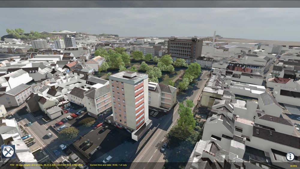
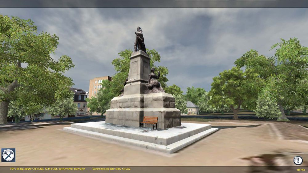
This model represents the entire States of Jersey 3d buildings and terrain model for St Helier
covering an area of some 6 sqkm. The native data is available as geo-referenced SketchUp tiles with
a States of Jersey annual mapping license, contact Digimap for license queries. For ease of use and
analysis, this data is presented within RealSim’s environment viewer, a powerful easy to use desktop
application designed for technical and non technical people alike who wish to see how proposed
changes to the built environment might look from any perspective. This analysis is aided by a
number of easy to use tools which include:
- A dynamic sun where shadows for any time of the day or year can be cast
- Weather simulation containing rain and adjustable fog,
- Distance measure tool
- Block model massing analysis tool
- Place tool which facilitates the placement of pre-determined buildings, trees and structures
for quick on the fly scenario analysis.
Hardware consideration
This is a data heavy model and may not run on PC’s and laptops that do not have a dedicated video
graphics card. It is recommended that the model only be used on a computer with the following
minimum specifications;
- 4GB or better of video graphics card memory
- 4GB or better of CPU RAM
- Minimum i7 processor


Reviews
There are no reviews yet.